Southampton Common
Wikipedia - Recent changes [en] - Saturday, April 25, 2026Layout: avenue, ref
← Previous revision Revision as of 08:29, 25 April 2026 Line 40: Line 40: Southampton Common currently includes {{convert|365|acre}}<ref name=Thomson60>{{cite book |last=Cosgrove |first= M.E |date=1989 |title=Southampton Common |publisher=City of Southampton Society |page=60 |oclc=655858743 <!--|isbn=X101616139-->}}</ref> of woodland, parkland, rough grassland, ponds, wetlands, nature trails, a children's play area, a model yachting lake, and a fishing lake. Southampton Common currently includes {{convert|365|acre}}<ref name=Thomson60>{{cite book |last=Cosgrove |first= M.E |date=1989 |title=Southampton Common |publisher=City of Southampton Society |page=60 |oclc=655858743 <!--|isbn=X101616139-->}}</ref> of woodland, parkland, rough grassland, ponds, wetlands, nature trails, a children's play area, a model yachting lake, and a fishing lake.The Hawthorns Urban Wildlife Centre at the southern end has been built on the former site of Southampton Zoo and the comprehensive displays document the natural history of the area; with interactive resources, educational facilities and information about local wildlife and environmental management. To the west, bordering on Hill Lane, is a [[Southampton Old Cemetery|historic cemetery]] that also includes many rare [[flora]] and [[fauna]]. Cemetery Lake is popular for [[birdwatching]]. The Hawthorns Urban Wildlife Centre at the southern end has been built on the former site of Southampton Zoo and has displays about the natural history of the area. To the west, bordering on Hill Lane, is [[Southampton Old Cemetery]], with many rare [[flora]] and [[fauna]]. Cemetery Lake is popular for [[birdwatching]].
The south east of the Common includes a large play area for children with sand and water play. This is located near to a car parking zone and the [[Cowherds Inn]], a local landmark which has a history going back to the 17th century. The south east of the Common includes a play area for children with sand and water play. This is near a car parking zone and the [[Cowherds Inn]], a local landmark which has a history going back to the 17th century.
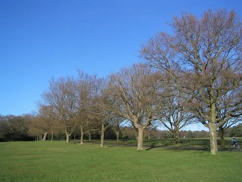
The [[A33 road]] between Southampton and Winchester runs through the common.<ref name=Thomson19 /> The section through the common is known as the Avenue.<ref name=Thomson19 /> In 1760 it was straightened by the Southampton to Winchester turnpike trust.<ref name=Thomson19 /> Since at least 1763 trees have been deliberately planted alongside the road.<ref name=Thomson19>{{cite book |last=Thomson |first= Sheila D |date=1989 |title=Southampton Common |publisher=City of Southampton Society |pages=19–21 |oclc=655858743 <!--|isbn=X101616139-->}}</ref> The [[A33 road]] between Southampton and Winchester runs through the common.<ref name=Thomson19 /> The section through the common is known as the Avenue.<ref name=Thomson19 /> In 1760 it was straightened by the Southampton to Winchester turnpike trust.<ref name=Thomson19 /> Since at least 1763 trees have been deliberately planted alongside the road.<ref name=Thomson19>{{cite book |last=Thomson |first= Sheila D |date=1989 |title=Southampton Common |publisher=City of Southampton Society |pages=19–21 |oclc=655858743 <!--|isbn=X101616139-->}}</ref> The Avenue was praised by [[William Gilpin (priest)|William Gilpin]] in 1798, and described in a 1967 book by J. P. M. Pannell, the engineer to the [[Port of Southampton]] Harbour Board, as "one of the finest town approaches in Britain, if not the world".<ref name="i912">{{cite book | last=Pannell | first=J.P.M. | title=Old Southampton Shores | publisher=David & Charles | year=1967 | url=https://books.google.co.uk/books?id=yGqgAAAAMAAJ | access-date=25 April 2026 | page=79}}</ref>
There are a number of streams on the common that are collectively part of the Rollesbrook [[catchment]].<ref name=Lawrence5 /> An artificial connection to Freemantle stream that runs to the ornamental lake has also been created.<ref name=Lawrence5>{{cite book |last=Burgess |first=Lawrence |date=1982 |title=The Streams and Watercourses Of Southampton |publisher=Friends of Old Southampton |pages=5–7 }}</ref> The mainline of the Rollesbrook rises slightly to the south of Cutthorn Mound at the northern end of the common.<ref name=Lawrence5 /><ref name=Thomson11/> It flows in a general south westerly direction passing under The Avenue and being joined by several tributaries before leaving the area via the southern side of the cemetery.<ref name=Lawrence5 /> There are a number of streams on the common that are collectively part of the Rollesbrook [[catchment]].<ref name=Lawrence5 /> An artificial connection to Freemantle stream that runs to the ornamental lake has also been created.<ref name=Lawrence5>{{cite book |last=Burgess |first=Lawrence |date=1982 |title=The Streams and Watercourses Of Southampton |publisher=Friends of Old Southampton |pages=5–7 }}</ref> The mainline of the Rollesbrook rises slightly to the south of Cutthorn Mound at the northern end of the common.<ref name=Lawrence5 /><ref name=Thomson11/> It flows in a general south westerly direction, passing under the Avenue and being joined by several tributaries before leaving the area via the southern side of the cemetery.<ref name=Lawrence5 />
== History == == History ==